The Untouched Side of Java Mount Slamet’s Baturraden Trail
13
Agu
Central Java’s highest peak hides a jungle route that few travelers ever walk. Here is what it feels like — and how to do it responsibly with the local community that guards it.
The Mountain Most Travelers Overlook
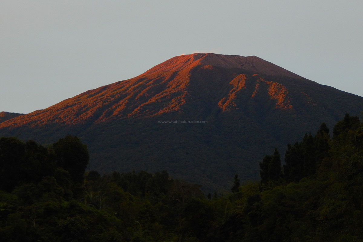
When foreigners think of Indonesian volcanoes, they picture Bromo’s sunrise, Merapi’s lava dome, or Rinjani’s crater lake. But rising quietly between five regencies in Central Java is Mount Slamet (3,428 m) — the highest peak in the province, the second-highest on the island of Java, and one of its most active volcanoes.
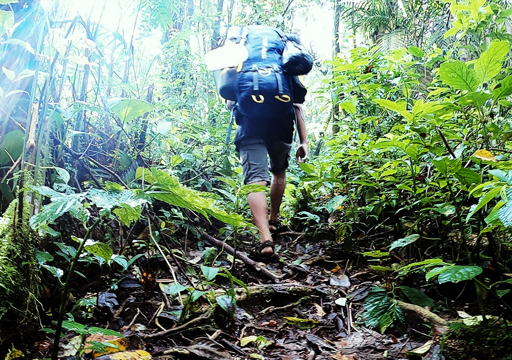
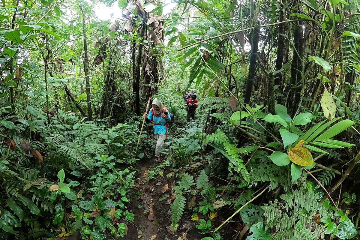
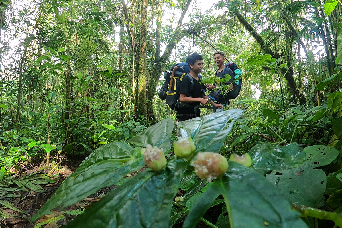
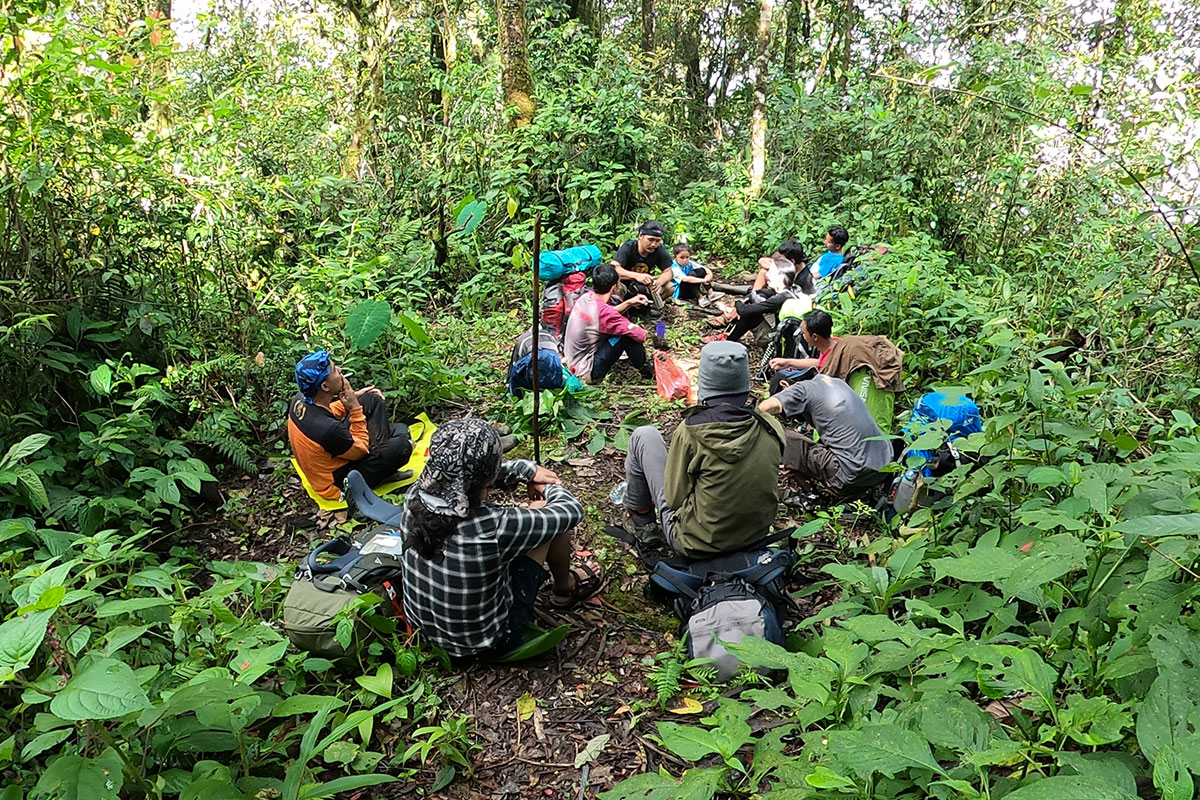
Of the several official trails that circle the mountain, the one climbing its southern slope from the old hill station of Baturraden is the wildest. There are no tea plantations here, no crowded shelters, no vendor stalls on the ridge. Instead, the Baturraden route is a true rainforest immersion: moss-draped giants, dripping canopy, slippery roots, and a silence broken only by bird calls and falling water.
It is also a route with a soul. The trail is cared for by RADENPALA, a local nature-lovers’ community that has mapped, maintained, and guarded the southern slopes for years — and today operates the trail in formal partnership with the village forest institution LMDH Wana Karya Lestari and the state forestry enterprise Perhutani.
Fast Facts
Item
Detail
Trail
Baturraden Lestari (southern route), Mount Slamet
Start
Wana Karya Lestari Basecamp, Kemutug Lor village (~613 m)
The experience begins at the Wana Karya Lestari basecamp, a short 30–45 minute drive north of Purwokerto (itself ~3 hours by train from Yogyakarta). Registration is simple but serious: the team checks your permit, your team size (a minimum of three people is required, or a guide must accompany you), and your trash — single-use plastics are discouraged, and everything you carry in must come back down.
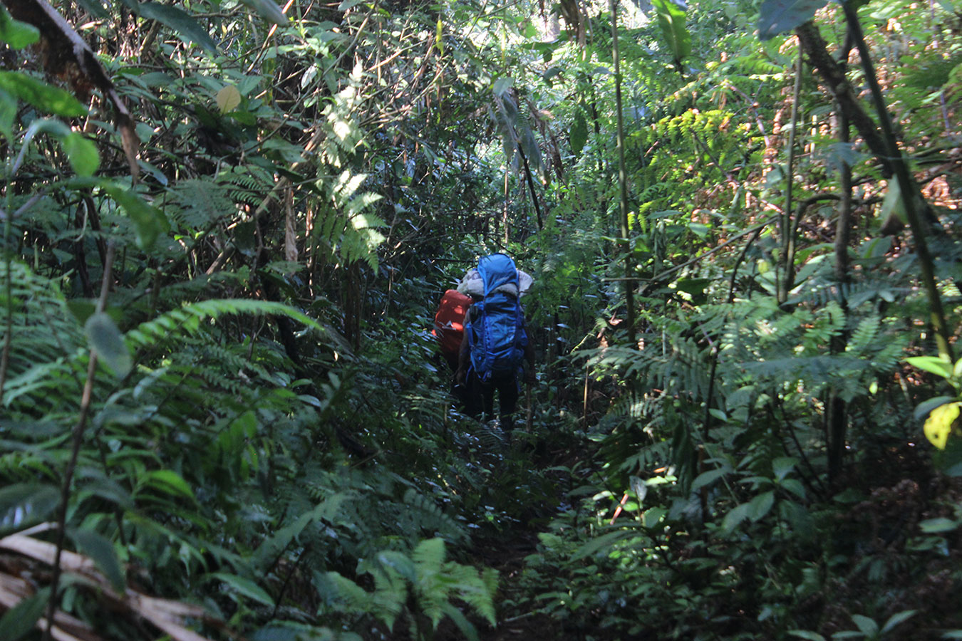
From the gate, the trail wastes no time. Within the first hour you are swallowed by dense lowland rainforest. The air is warm and humid, the ground a lattice of exposed roots, and nearly every trunk wears a thick coat of moss. There is almost no flat “bonus” trail here — Baturraden is an unbroken staircase of inclines.
The first water source appears near Pos 2 Sintok, a small stream tucked just west of the path. Fill up here: water becomes scarce higher on the mountain.
Then comes the day’s defining challenge — the long grind from Sintok to Pos 3 Bongkrek, the trail’s longest single stretch. Expect mud, red volcanic soil, and roots polished slick by rain. Most teams arrive at Pos 4 Katik in the late afternoon, exhausted and delighted. Katik is the route’s hidden sanctuary: a shaded, wind-protected camp with clean piped spring water, room for only a handful of tents. Nights here are spent listening to the forest breathe.
Day 2 — Pitcher Plants and the Wind Gate
Morning brings the trail’s botanical reward. Approaching Pos 5 Kantong Semar (“Pitcher Plant Post”), Nepenthes vines hang from the shrubs — a reminder that you are climbing through one of Java’s richest montane forests.
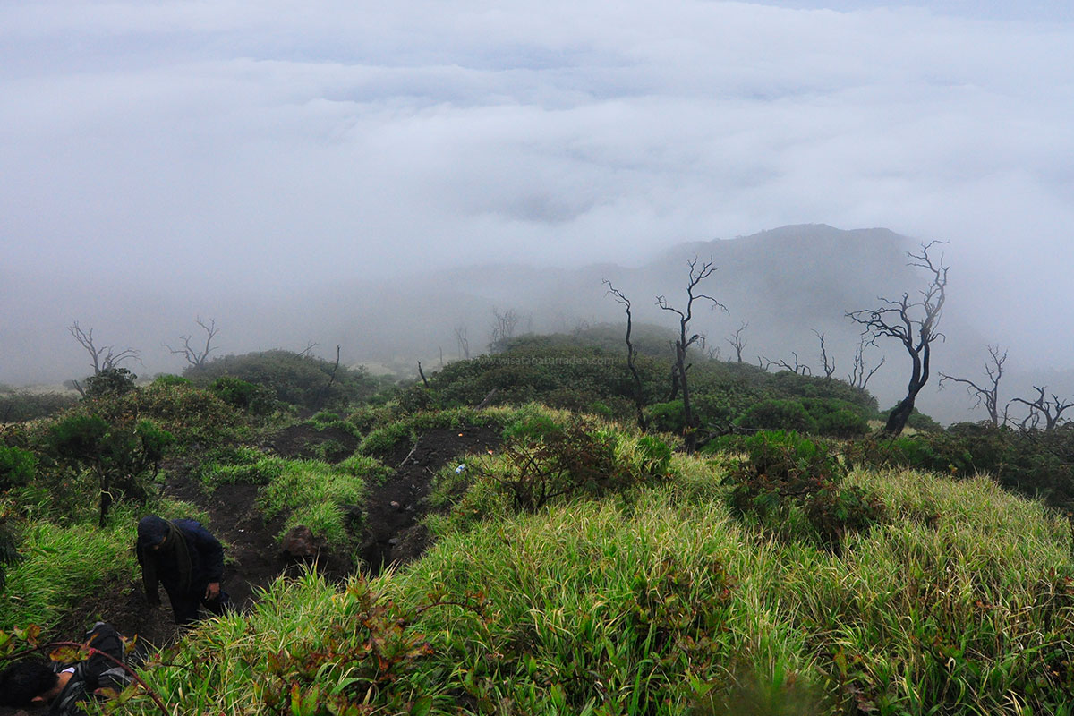
The canopy thins as you rise through Pos 6 Kuda-kuda toward Pos 7 Simbar Angin (“Wind Gate”). The temperature drops, the wind sharpens, and the forest shifts from rainforest giants to stunted subalpine scrub. Water at Simbar Angin is seasonal, so rangers advise carrying extra from Katik.
Many teams camp here for the summit push. After sunset, the southern sky opens up — on clear nights the lights of Purwokerto glitter far below while the volcano’s silhouette looms above.
Day 3 — Dawn at the Safe Boundary
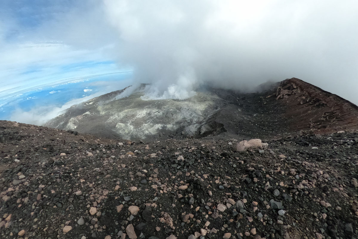
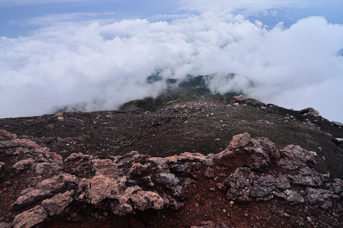
The final push starts around 2 a.m. Headlamps sweep through stands of Javanese edelweiss near Pos 8 Cantigi, the temperature hovering near 5°C. By first light you reach Plawangan (3,092 m) and, a few minutes later, the orange sign marking the Safe Boundary at 3,115 m.
Beyond it, the crater smokes.
You will not stand on Slamet’s highest point on this trip — and that is precisely the point. Standing at the boundary, watching vapor roll out of an active crater while clouds pool beneath your boots, you understand the mountain on its own terms. The RADENPALA guides treat this limit not as a restriction but as a form of respect: for the volcano, for the forest, and for the fighters of Indonesia’s independence war who once used these same jungle paths as guerrilla routes — commemorated by the historic Soerono Monument on the southern ridge.
The descent is its own adventure: knees tested by slick mud, leeches checking in for a farewell, and a warm welcome back at basecamp with hot food and stories.
What to Expect: A Realistic Field Note
Leeches (pacet): This is a wet rainforest. Leeches are part of the deal, especially after rain. Wear gaiters or long socks and check yourself at every rest stop.
Mud and roots: Waterproof boots with strong grip are essential. Trekking poles save your knees on the descent.
Weather: Fog and rain arrive fast, even in the dry season. Pack a reliable rain shell and dry bags.
Cold: Near the ridge, nights can approach freezing. Bring a proper sleeping bag and layers.
Navigation: The trail has few markers and dense vegetation. Do not hike alone — go with the local guide.
Fitness: There is little flat ground. Train your cardio and legs beforehand.
Practical Guide for International Trekkers
Getting there. Fly into Jakarta or Yogyakarta. Take a train to Purwokerto (15 km). Basecamp staff can arrange pickup.
Permits and rules. Register at basecamp.
Guides and porters. Hiring a RADENPALA guide or our teamis the single best decision you can make on this route. They know every water source, every camp, and every weather sign — and your fees go directly to the village economy.
When to go. June to September offers the driest trails and the best chance of clear crater views.
Respect the mountain. Carry out all trash, no campfires, no plastics, and never cross the Safe Boundary sign. The volcano’s status can change; always confirm current conditions with the basecamp before departure.
Why Baturraden Is Worth It
In an era when famous trails grow crowded, the Baturraden route offers something increasingly rare: solitude, a pristine mossy rainforest, and a trek that directly funds the community protecting it. You will not bag Java’s most famous summit photo here. You will leave with something better — the feeling of having walked, quietly and respectfully, through one of Java’s last great wild corridors.
Looking for a Mount Slamet climbing package? Book your guided trek via the scenic Baturraden route directly with us for a safe adventure.